- Home
- About Us
- Safaris Packages
- Safari Types
- Destinations
- Uganda
- Best Natioanl Parks
- Accommodations
- Semuliki National Park Accommodation
- Rwenzori National Park Accommodation
- Queen Elizabeth National Park Accommodation
- Murchison Falls National Park Accommodation
- Mgahinga Gorilla National Park Accommodation
- Mount Elgon National Park Accommodation
- Lake Mburo National Park Accommodation
- Kidepo Valley National Park Accommodation
- Kibale National Park Accommodation
- Bwindi Impenetrable National Park Accommodation
- Wildlife Reserves
- Activities And Attractions
- Distance in Kilometers and Duration
- Distance From Entebbe To Mgahinga National Park
- Distance From Entebbe to Rwenzori Mountains National Park
- Distance From Entebbe To Semuliki Natioanl Park
- Distance From Entebbe To Queen Elizabeth National Park
- Distance From Entebbe to Kidepo Valley National Park
- Distance From Entebbe To Mount Elgon National Park
- Distance From Enetebbe To Lake Mburo National Park
- Distance From Entebbe To Kibale National Park
- Distance From Entebbe To Murchison Falls
- Distance From Entebbe To Bwindi Impenetrable Forest
- Top Destinations
- Top Safaris
- Wheather
- Solo Traveller
- What to Expect On Safari in Uganda?
- Why Visit Uganda Next in 2021/22 – Alpha Adventure Safaris
- Best Uganda Tour Company
- Rwanda
- Kenya
- Tanzania
- Uganda
- Contact Us Now
Wild Mania Safaris-Uganda Safaris, Uganda Tour Packages , Uganda Safaris
- +256 754 389710
- info@wildmaniasafaris.com
- Get A Quote
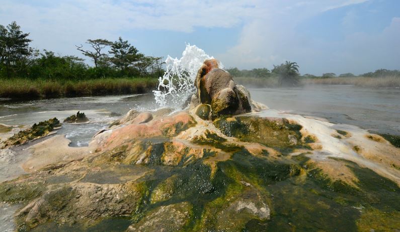
PARK AT A GLANCE Size: 220km² with an altitude of 670-760m above sea level Semuliki Forest Reserve was created in 1932 and upgraded to national park status in 1993. It is the only tract of true lowland tropical forest in East Africa, hosting 441 recorded bird species and 53 mammals. Large areas of this low-lying park may flood during...Read More
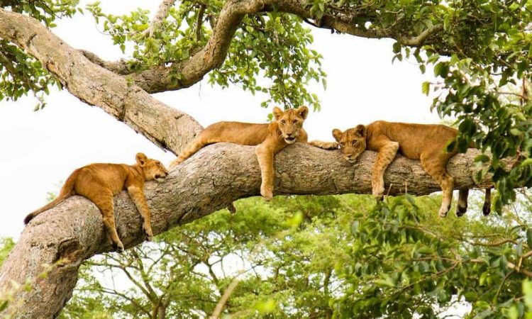
PARK AT A GLANCE Size: 1,978km². Queen Elizabeth spans the equator line; monuments on either side of the road mark the exact spot where it crosses latitude 00. The park was founded in 1952 as Kazinga National Park, and renamed two years later to commemorate a visit by Queen Elizabeth II. The park is home to over 95...Read More
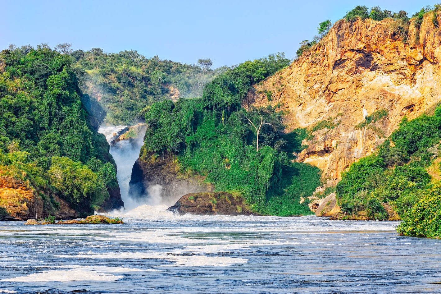
PARK AT A GLANCE Size: 3,840km2 Murchison Falls became one of Uganda’s first national parks in 1952 At Murchison Falls, the Nile squeezes through an 8m wide gorge and plunges with a thunderous roar into the “Devil’s Cauldron”, creating a trademark rainbow The northern section of the park contains savanna and borassus palms, acacia trees and riverine woodland. The south...Read More
PARK AT A GLANCE Size: 1,121km² This extinct volcano is one of Uganda’s oldest physical features, first erupting around 24 million years ago. Mt Elgon was once Africa’s highest mountain, far exceeding Kilimanjaro’s current 5,895m. Millennia of erosion have reduced its height to 4,321m, relegating it to the 4th highest peak in East Africa and 8th on the continent....Read More
PARK AT A GLANCE Size: 33.7km2, making it Uganda’s smallest National Park. The park takes its name from “Gahinga” – the local word for the piles of volcanic stones cleared from farmland at the foot of the volcanoes. The British administration declared the area a game sanctuary in 1930; it was gazetted as a National Park in 1991....Read More
PARK AT A GLANCE Size: 370km2 Altitude: 1,220m – 1,828m above sea level Wetland habitats comprise 20% of the park’s surface The parks’ precarious past has seen wildlife virtually eliminated several times: firstly in various attempts to rid the region of tsetse flies, then to make way for ranches, and finally as a result of subsistence poaching. 20%...Read More
PARK AT A GLANCE Size: 1,442km2 The park’s altitude ranges between 914m and 2,750m above sea level. The park contains two rivers – Kidepo and Narus – which disappear in the dry season, leaving just pools for the wildlife. The local communities around the park include pastoral Karamojong people, similar to the Maasai of Kenya, and the IK, a hunter-gatherer tribe...Read More
PARK AT A GLANCE Size: 795km2 Kibale is highest at the park’s northern tip, which stands 1,590m above sea level. The lowest point is 1,100m on the floor of the Albertine Rift Valley to the south. 351 tree species have been recorded in the park, some rise to over 55m and are over 200 years old. Kibale’s varied...Read More
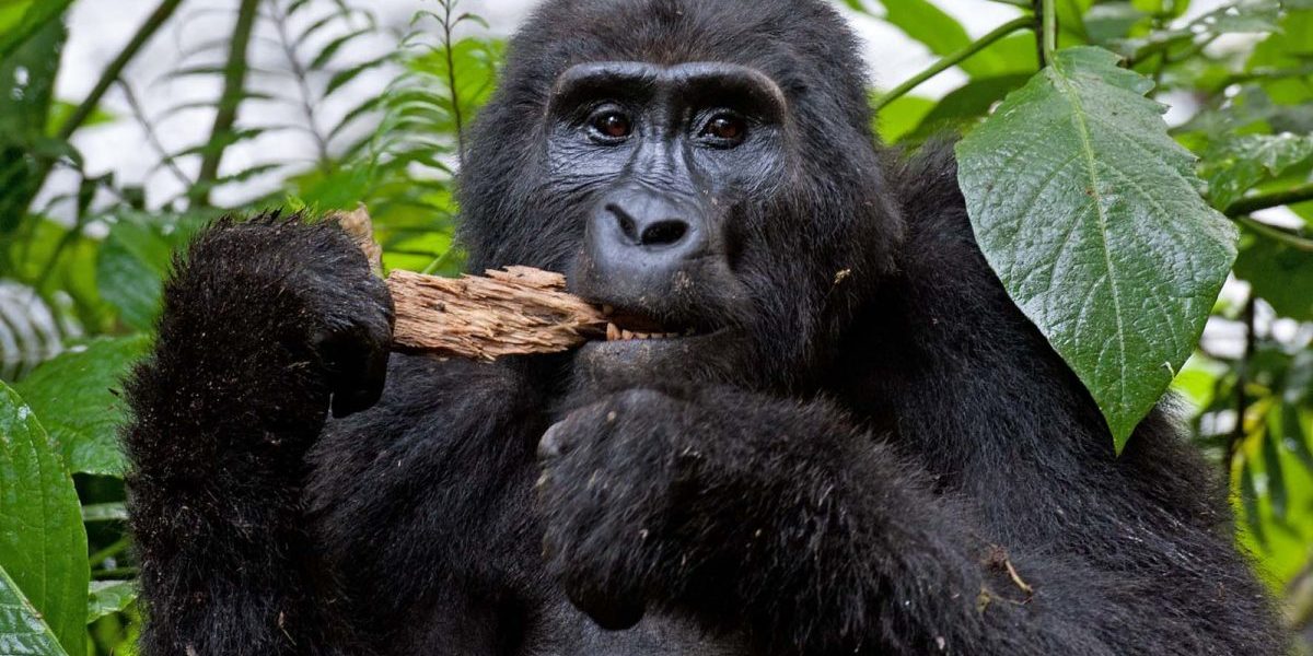
PARK AT A GLANCE Size: 321km2 Altitude: 1,160m – 2,607m above sea level. Bwindi was gazetted as a National Park in 1991 and declared a UNESCO Natural World Heritage Site in 1994. The Mubare gorilla group was the first to become available for tourism in Uganda in April 1993. Nine groups are now habituated for tourism, and one for research. Spread over a...Read More
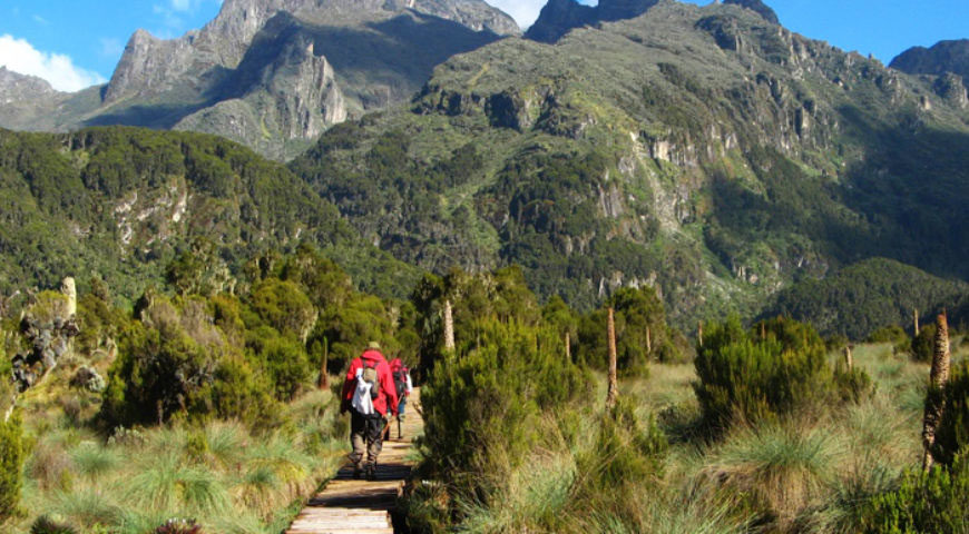
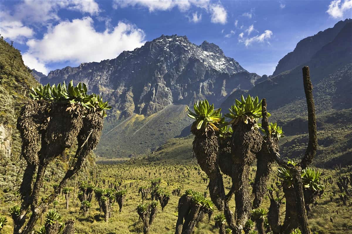
PARK AT A GLANCE Size: 996km2The park was gazetted in 1991 and was recognized as a World Heritage site in 1994 and Ramsar site in 2008.Highest point: 5,109m above sea level on Mt Stanley’s Margherita Peak. Mt. Stanley is bisected by the border with DR Congo.The Rwenzori is not volcanic like East Africa’s other major...Read More
Recent Posts
- Ti Euro Bonus Minus Indskud Casino August ️ Adlerslots
- 10 Nft Stocks To Get According To Reddit
- Ledus kazino 25 eiro atlaide bez depozīta vai 50 bezmaksas griezieni
- Mityczny automat Maiden w Ice Casino sprawi, że Twoje serce zabije i zadrży dzięki hojnym wypłatom
- Ggbet Sport i e-sport! Mod Apk V1 9 Darmowe pobieranie
Archives
- October 2022
- September 2022
- August 2022
- May 2022
- April 2022
- March 2022
- February 2022
- January 2022
- December 2021
- November 2021
- October 2021
- September 2021
- August 2021
- July 2021
- May 2021
- April 2021
- February 2021
- January 2021
- August 2020
- July 2020
- June 2020
- May 2020
- April 2020
- November 2019
- October 2019
- September 2019
- June 2016
Categories
- ACCOMMODATION
- ACTIVITIES AND ATTRACTIONS
- Best time to travel to Kenya
- BIRDING
- Bitcoin News
- Bitcoin Price
- Bitcoin Trading
- Blog
- BOAT LAUNCH
- Bookkeeping
- BUDGETING RWANDA
- BUSH CAMPING
- Bwindi Gorilla Trekking
- Caves
- CHIMPANZEE TRACKING AND HABITUATION
- Coastal Safari
- Cryptocurrency service
- CULTURAL ENCOUNTERS
- CYCLING AND MOUNTAIN BIKING
- Education
- EXPERIENTIAL TOURISM
- GAME DRIVES
- GORILLA TRACKING
- Gorilla Trekking in Uganda
- Holiday Styles and Options in Kenya
- Installment Loans
- IT Образование
- Kenya
- Kilmanjaro
- Masonry
- Medical
- MOUNTAIN AND VOLCANO CLIMBING
- National Parks In Kenya
- National Parks In Uganda
- News
- Northern Circuit
- Payday Loans
- Post Format
- SAFARI & HOLIDAY STYLES IN RWANDA
- See Kenya in Your Comfort
- Software development
- Southern Park
- SPORT FISHING | UGANDA
- THE BASICS RWANDA
- THe HIGHLIGHTS RWANDA
- Top News
- TRAVEL ADVICE
- TYPE OF TRAVELLER IN RWANDA
- Uncategorized
- Western Tanzania
- What You Need To Know About Kenya
- WHEN TO GO TO RWANDA
- WHERE TO IN RWANDA
- Who is Travelling to Kenya with you?
- Why Rwanda
- Wild Life Reserves
- Криптовалюты


